Bathurst Spatial Twin Project
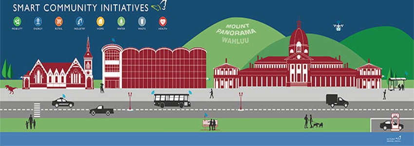
Bathurst Spatial Digital Twin is a joint collaboration between NSW Spatial Services and Bathurst Regional Council and is the first for a NSW regional Council. The centrepiece of the project is a 3D representation of approximately 4,000,000m2 of the Bathurst CBD at a resolution of 2cm. This fine resolution provides a picture image of the buildings and streetscapes of the Bathurst CBD which in the future can be used to host a number of smart city initiatives and even be used in the planning and approval process with the use of 3D drawings that can be layered into the Digital Twin.
Currently we have highlighted disabled parking, bus stops, off leash dog areas and park play equipment locations. This offering will be expanded as new projects are implemented and may include such things as environmental information (temperature, air quality etc), parking vacancies and GPS tracking of buses.
To access the Digital Twin click here https://www.haveyoursay.nsw.gov.au/bathurst-twin
To assist us on this new Smart Cities journey we require your feedback and suggestions as to how this platform can be used to make Bathurst a more liveable city. To have your say please click here https://www.haveyoursay.nsw.gov.au/bathurst-twin
Please remember that the whole of Bathurst was not surveyed for this 3D model. The survey area is boarded by the Macquarie River, Havannah Street, Stewart Street and Browning Street.
Frequently Asked Questions
How was the data gathered?
A helicopter flew above the CBD for several days in February 2022 gathering imagery for the digital twin.
What has been produced?
A 3D digital twin of the Bathurst town centre. It is a 3D model.
Who has been involved?
NSW Spatial Services and Bathurst Regional Council have worked together to produce this Digital Twin. It is part of the Live.NSW Program. Many of Council’s staff have been involved, particularly the Economic Development and GIS teams.
Do other cities have a 3D digital twin?
Not in regional NSW. Bathurst is the first major regional centre to participate in the program.
What are the benefits of the project?
Council, planners and the community will be able to ‘see’ a proposed development in the 3D model. This will help guide planning decisions before the decisions take effect in the real world.
It will provide developers with a tool that allows them to run a series of design scenarios, to ensure a development is sensitive to the surrounding environment https://www.spatial.nsw.gov.au/digital_twin